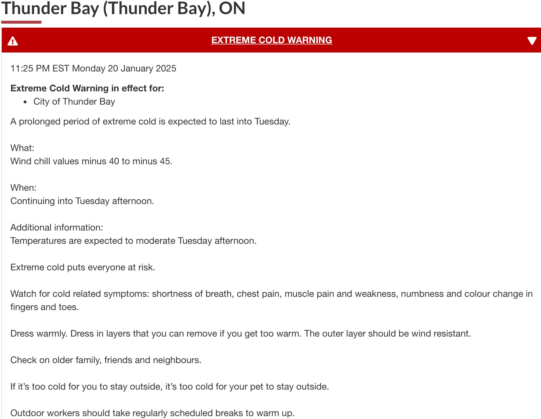
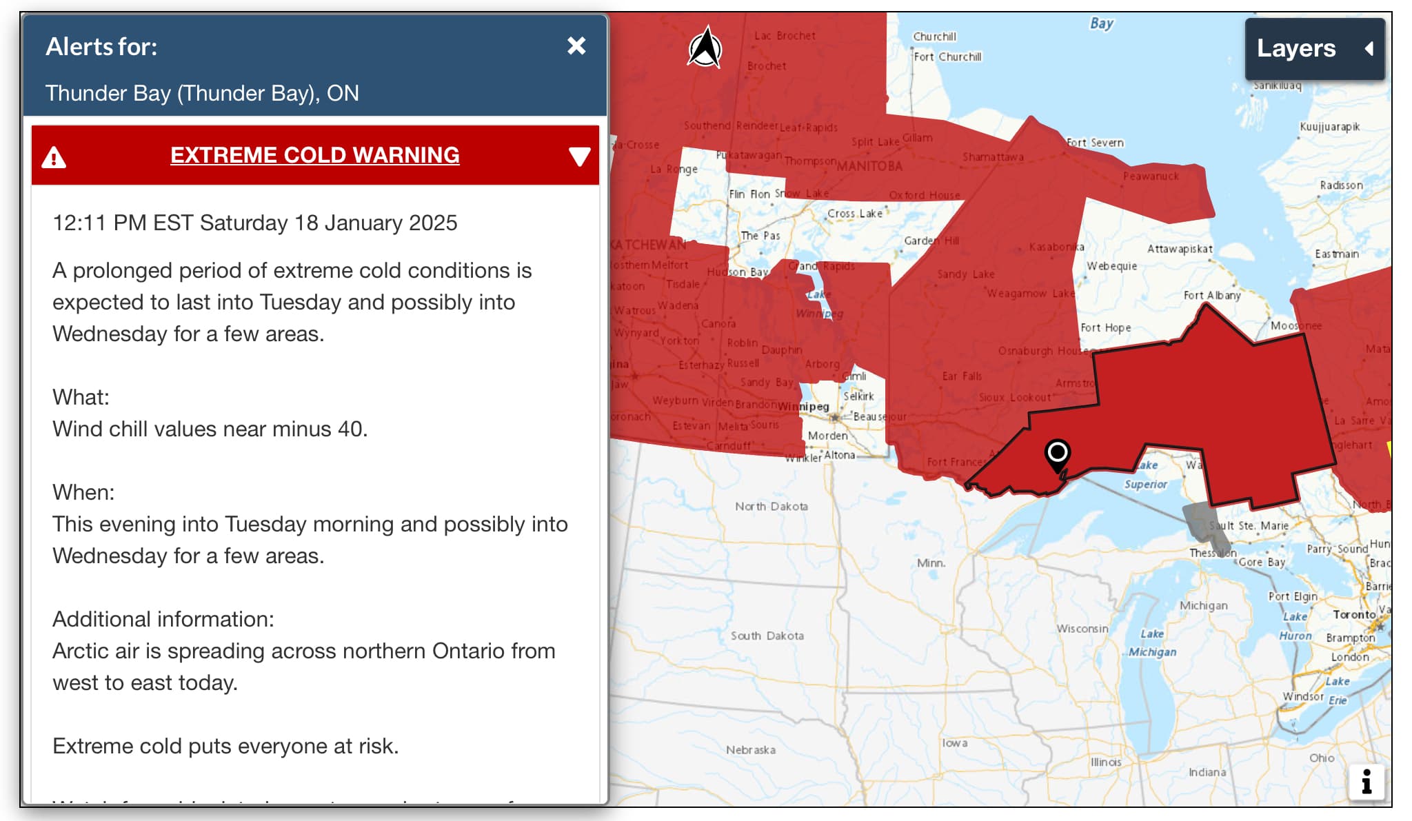
[Thunder Bay Weather] Extreme cold warning lifted, warm moisture starting to take hold, increased chance of snowfall over the next week
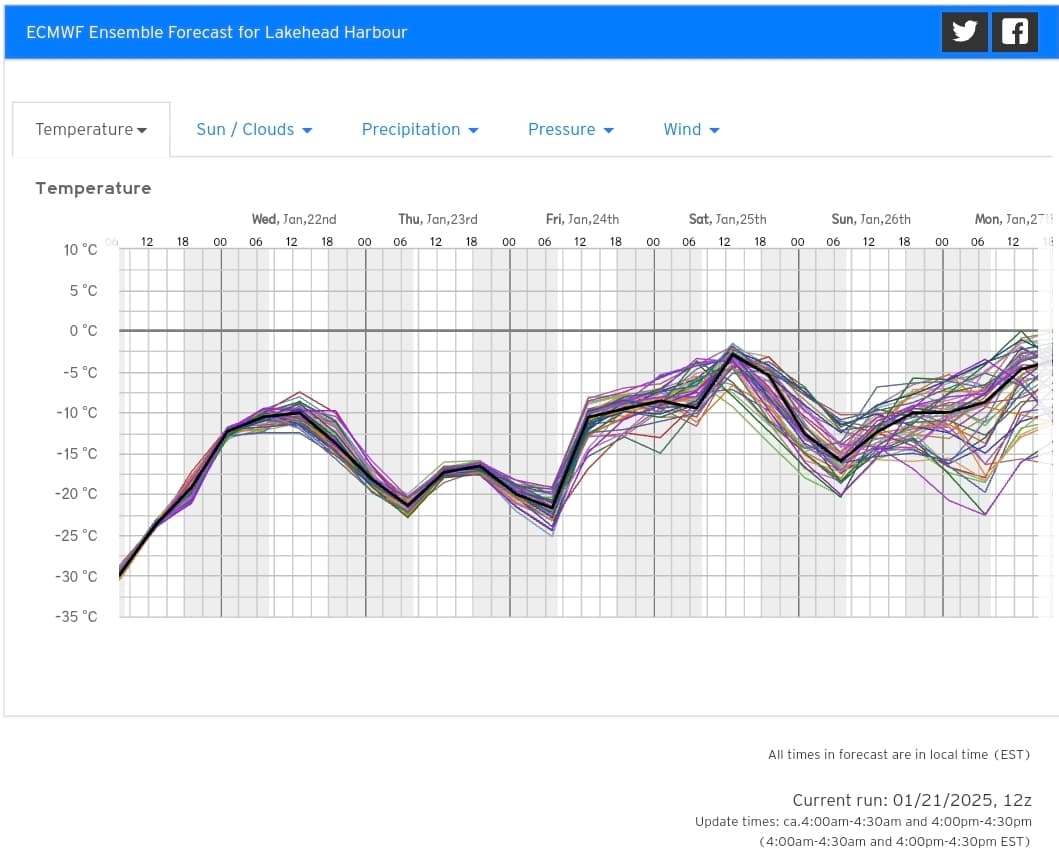
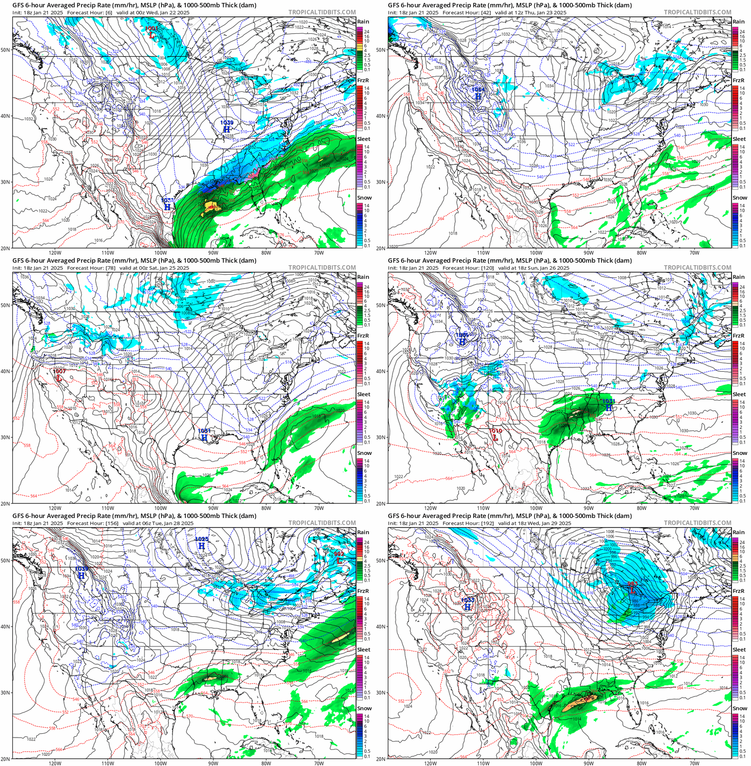
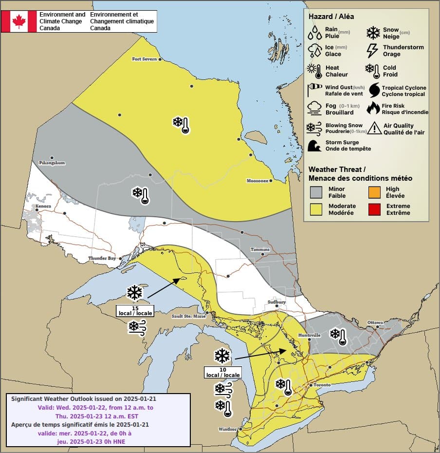
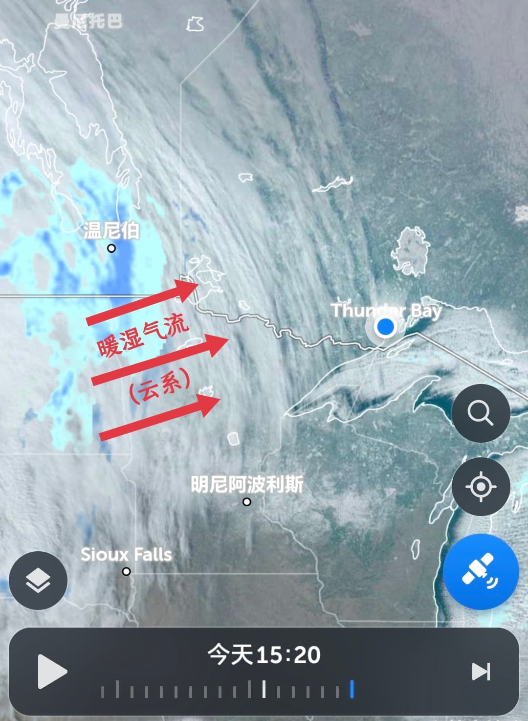
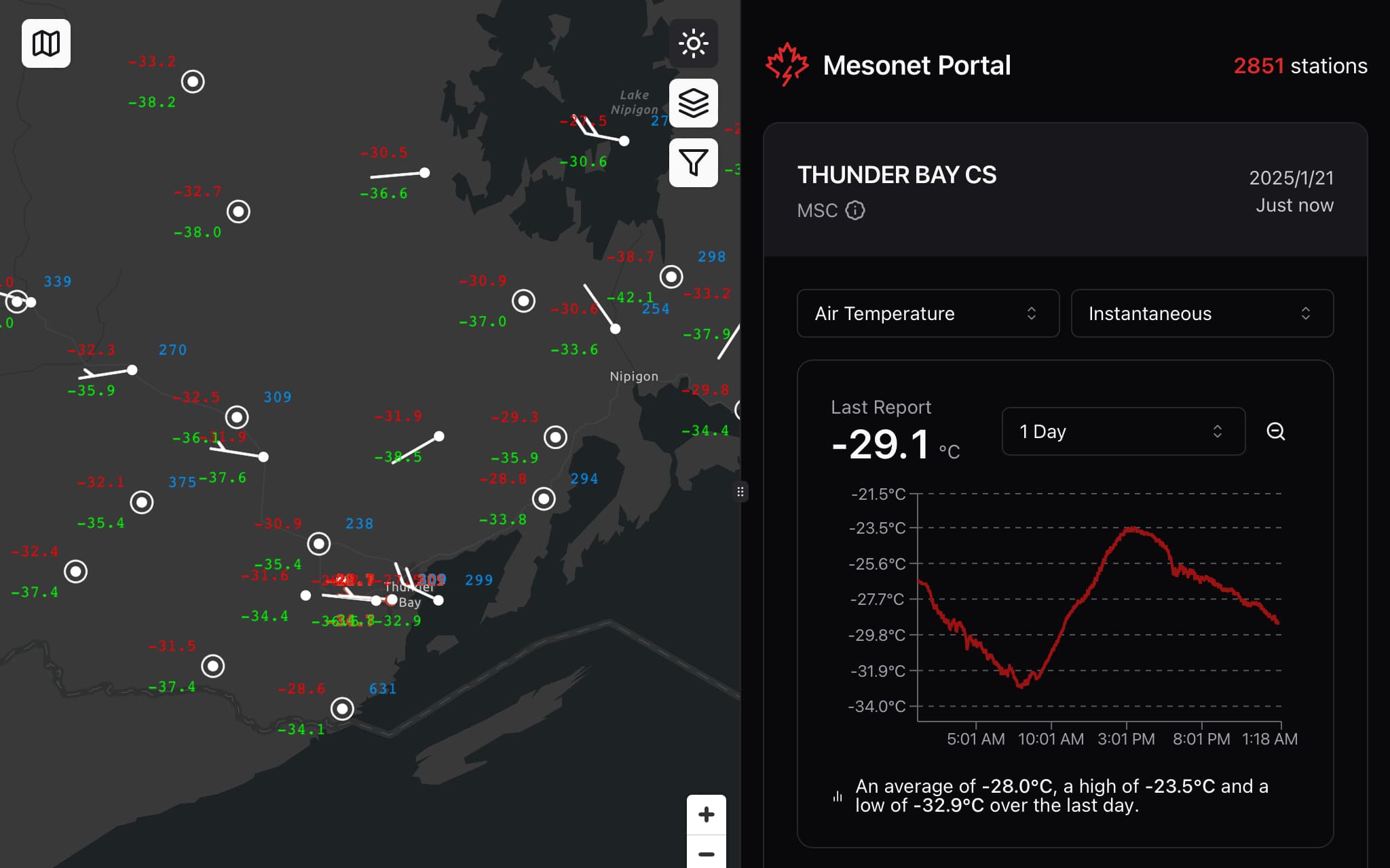
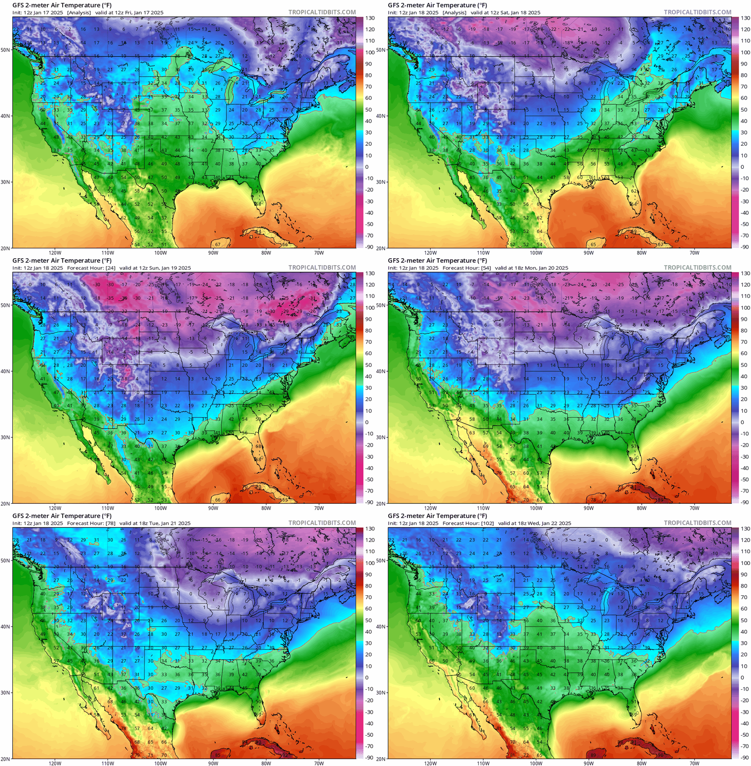
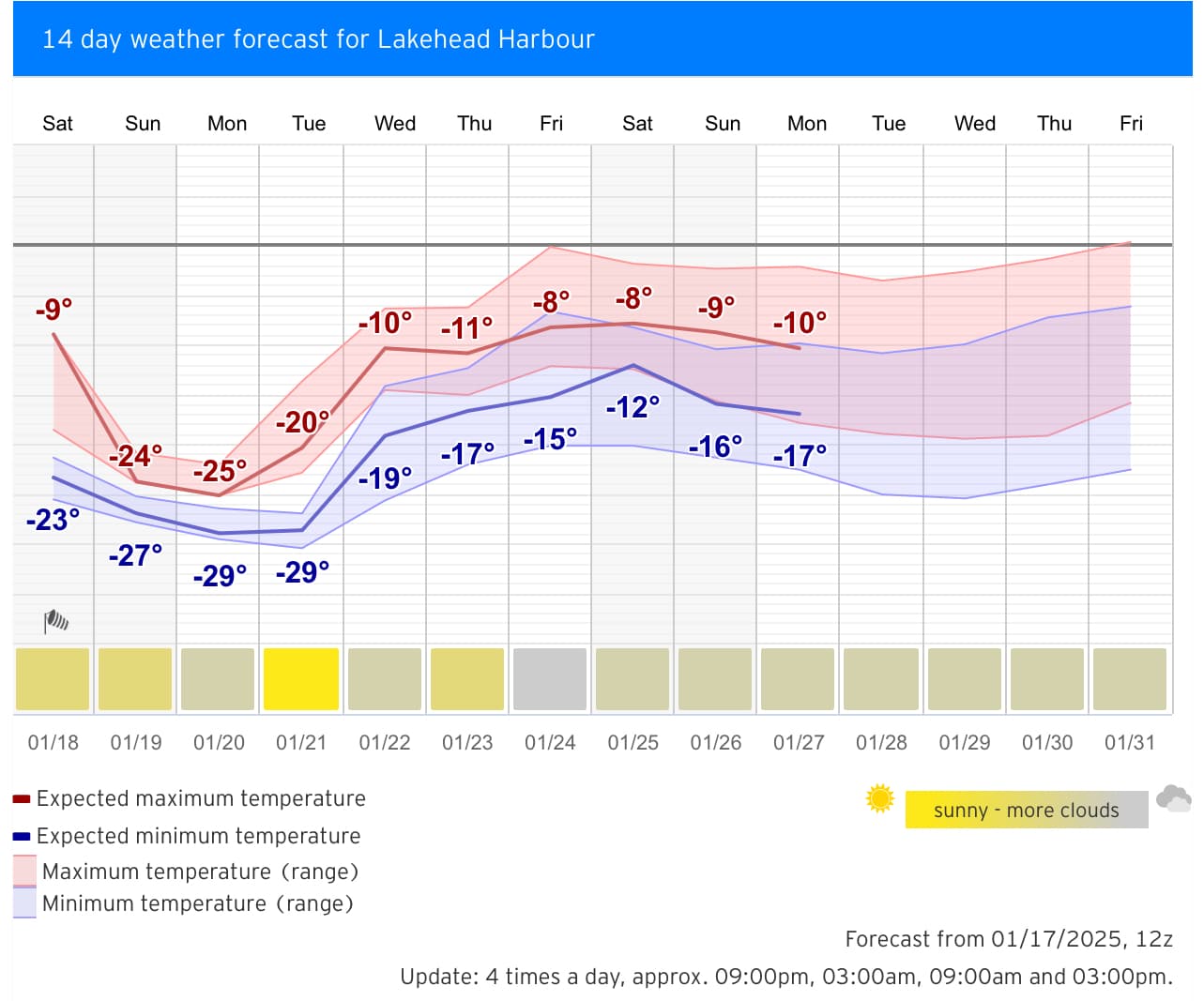
Although it may seem counterintuitive, in Thunder Bay's winter, "cloudy skies/starting to snow" and "warming up" are highly correlated: It is expected that after nightfall tonight, Thunder Bay's weather will gradually turn cloudy, signaling that the cold high-pressure system has officially lost its absolute control over Thunder Bay, while a new "Alberta Clipper" low-pressure system, along with warm moist air, is re-taking the weather stage. Currently, all major weather models support that from early to mid-morning tomorrow (Wednesday), this warm moist air will fill the near-surface dry zone created by the earlier cold air, with a chance of squeezing out a bit of light snow; at the same time, temperatures will rapidly rise from this morning's -30°C to around -10°C by tomorrow morning, shifting from extreme cold to normal cold. Looking ahead









.png&w=3840&q=75)