Chill guy
2025-03-18 19:33:43 EDT·What's newWhat's going on here


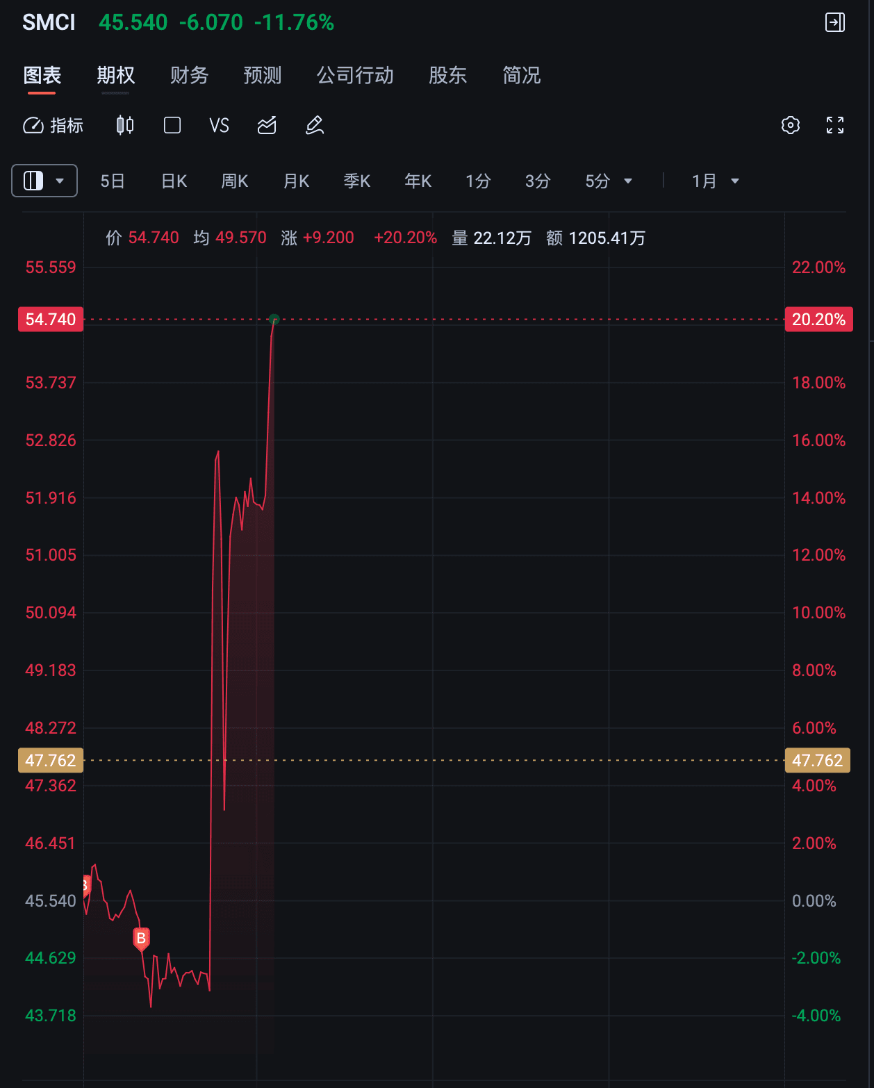
2025-03-14 [Original summary post: https://www.lakebbs.ca/post-013d6d7c] [Recommend bookmarking the original summary post] NVDA 20% (+1%) APPL 5% (--) AVGO 9% (--) GOOGL 14% (+1%) PANW 12% (+1%) CRWD 6% (--) MSFT 5% (--) TSLA 3% (-1%) AMZN 10% (+1%) VST 8% (-1%) TEM 8% (-2

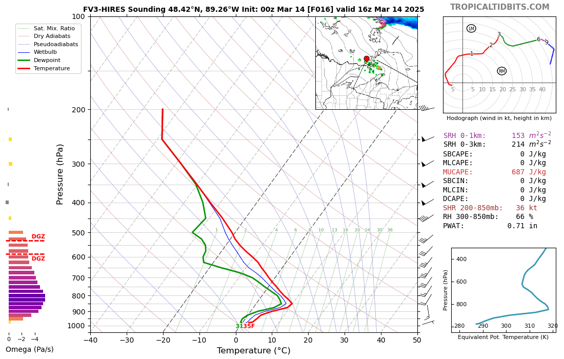
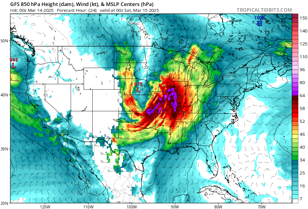
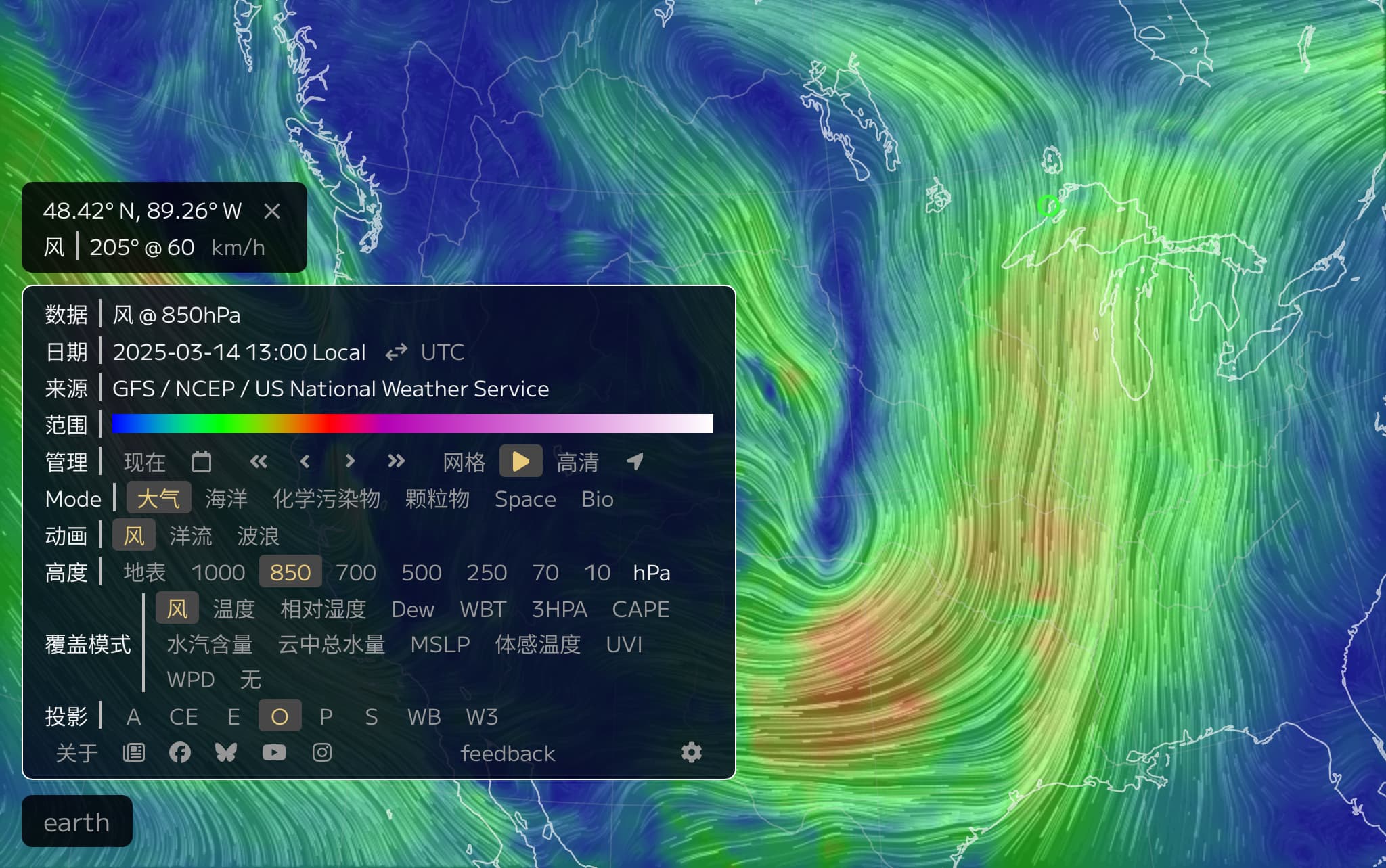
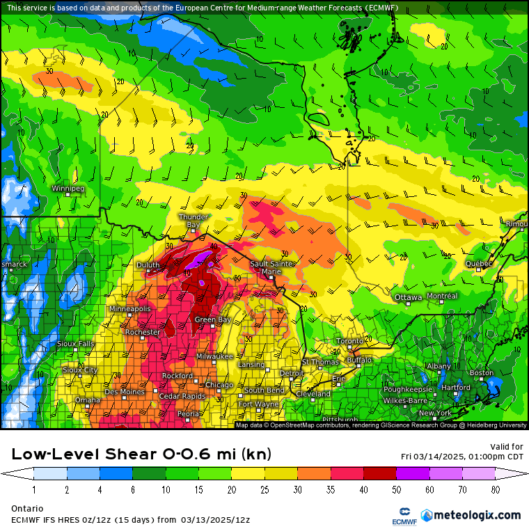
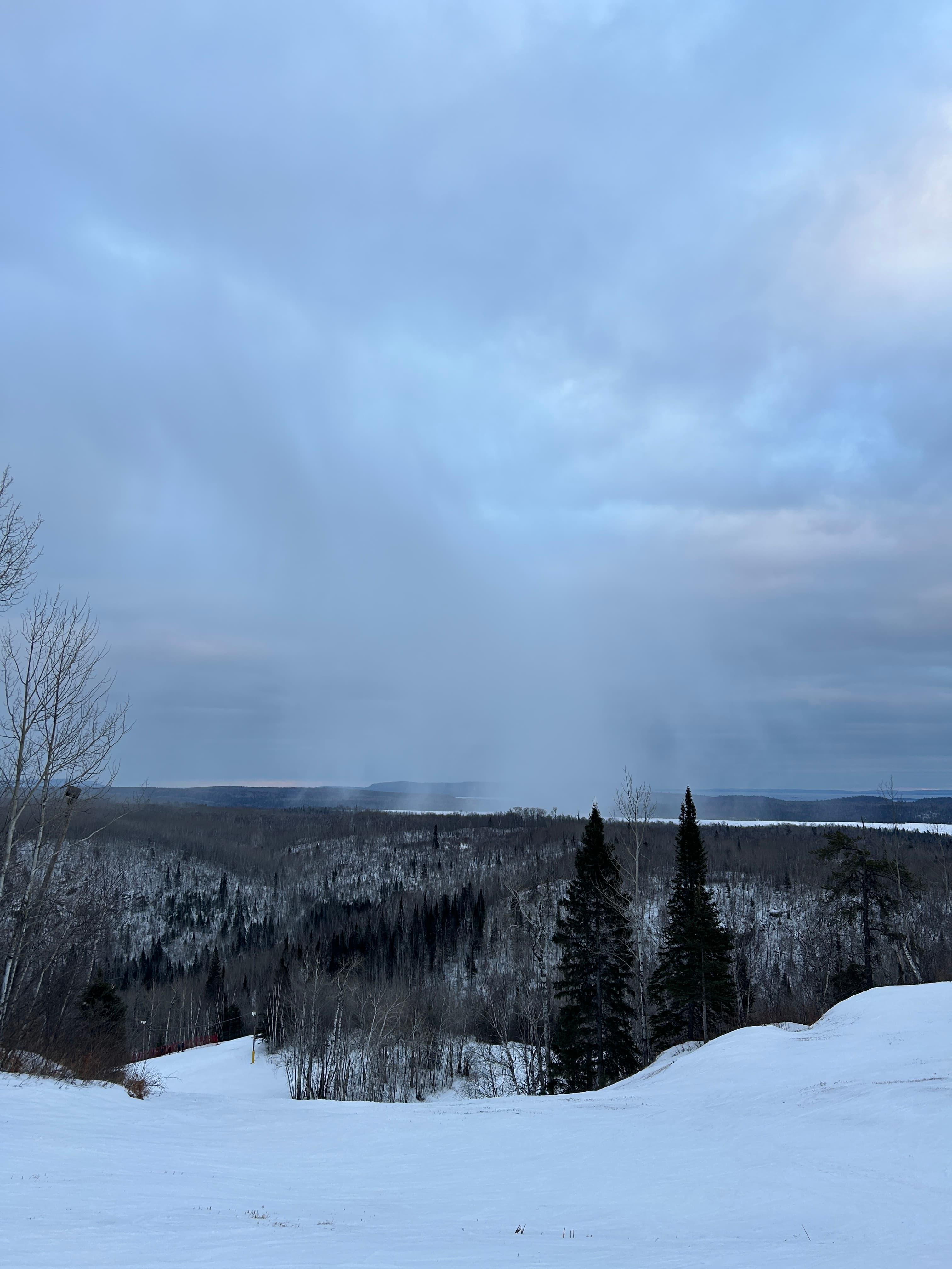
With the time zone adjustment this week, spring is drawing closer to Thunder Bay, and the clash between cold and warm air masses is intensifying. Overview: Influenced by the warm front of a cyclone, convective rainfall is expected in parts of Thunder Bay this afternoon (Friday the 14th), with isolated weak thunder or small ice pellets possible, maximum hourly rainfall intensity of 3-7 mm/h, and precipitation lasting no more than 1 hour. Since the area of severe convection is very localized and highly uncertain, the possibility of hail cannot be ruled out either; it is recommended to carry an umbrella at all times when going out today. Analysis: On the night of the 13th, east of the Rocky Mountains in the United States, a Colorado Low with an unusually large circulation was rapidly moving eastward and


Looking for a CELPIP study buddy!! Anyone want to study together at the LakeheadU library? I'll give away a full set of CELPIP materials, including the latest Teacher Ye's 9-point videos.

Looks like a gray wolf, everyone passing by the school should be careful. 

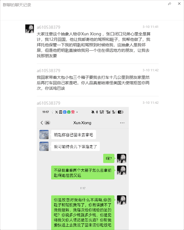
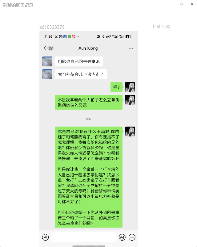
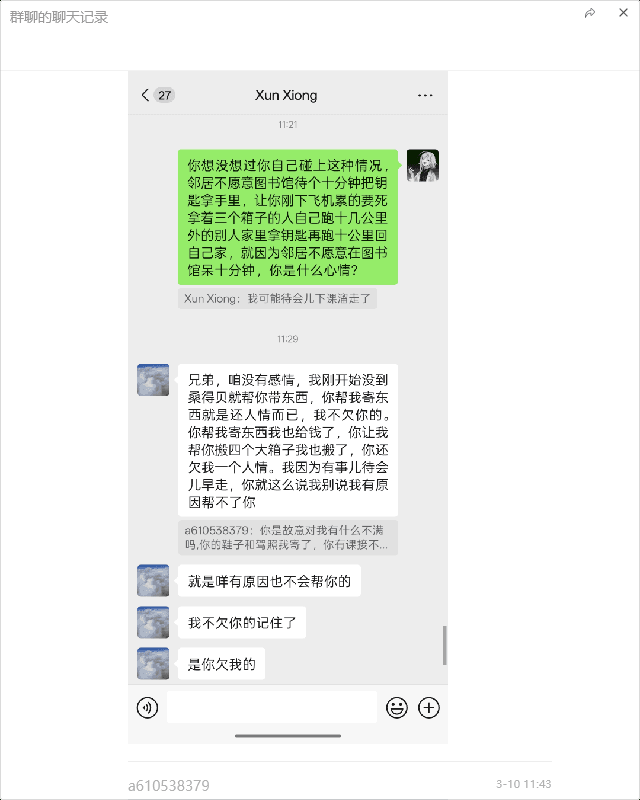
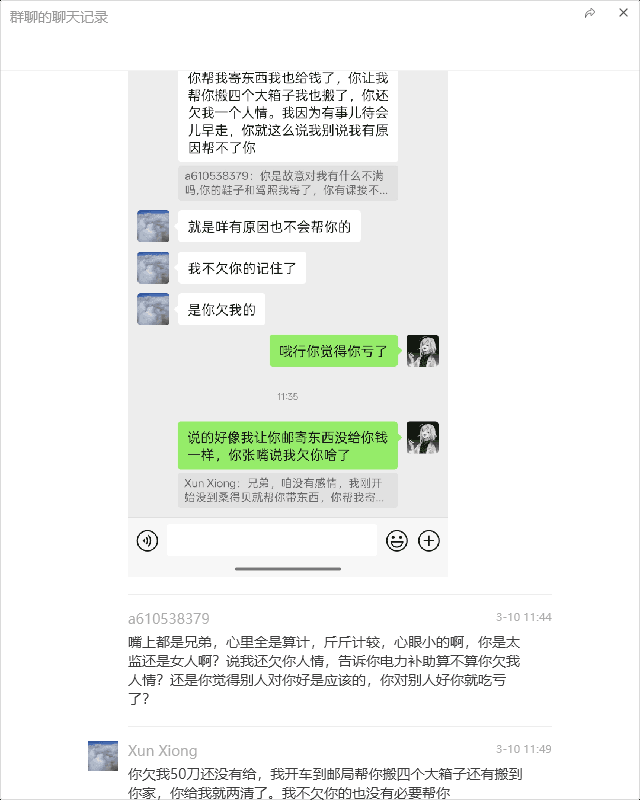
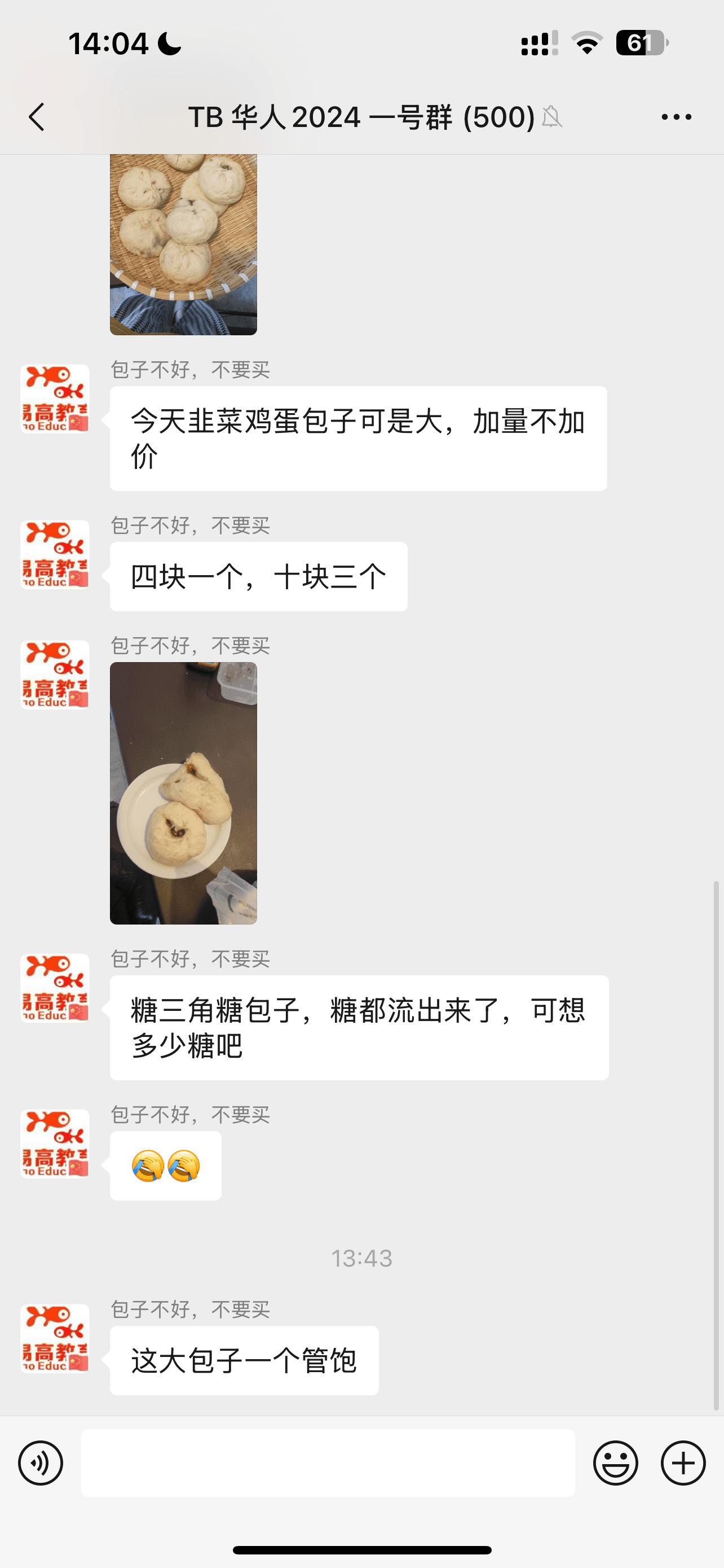
Origin: Protagonist A: a610538379 went on a rant in TB 2024 Chinese Group 1 against Protagonist B: xiong xun and Protagonist C: Teacher Yin from Yigao Education 15522518560. B and C are a couple, and they sell buns together in the group. The argument details can be seen in the images below; many bystanders were watching. Summary: The old are bad, the young are foolish. Because the young one is too incompetent, while the old one usually does private catering and has good relations with everyone, with a base of support. The young one was going back to China, so the old one asked the young one to bring some items and paid for it. Then, the young one also asked the old one to help move things, and verbally agreed to treat the old one to a meal; although the old one agreed, but in their heart

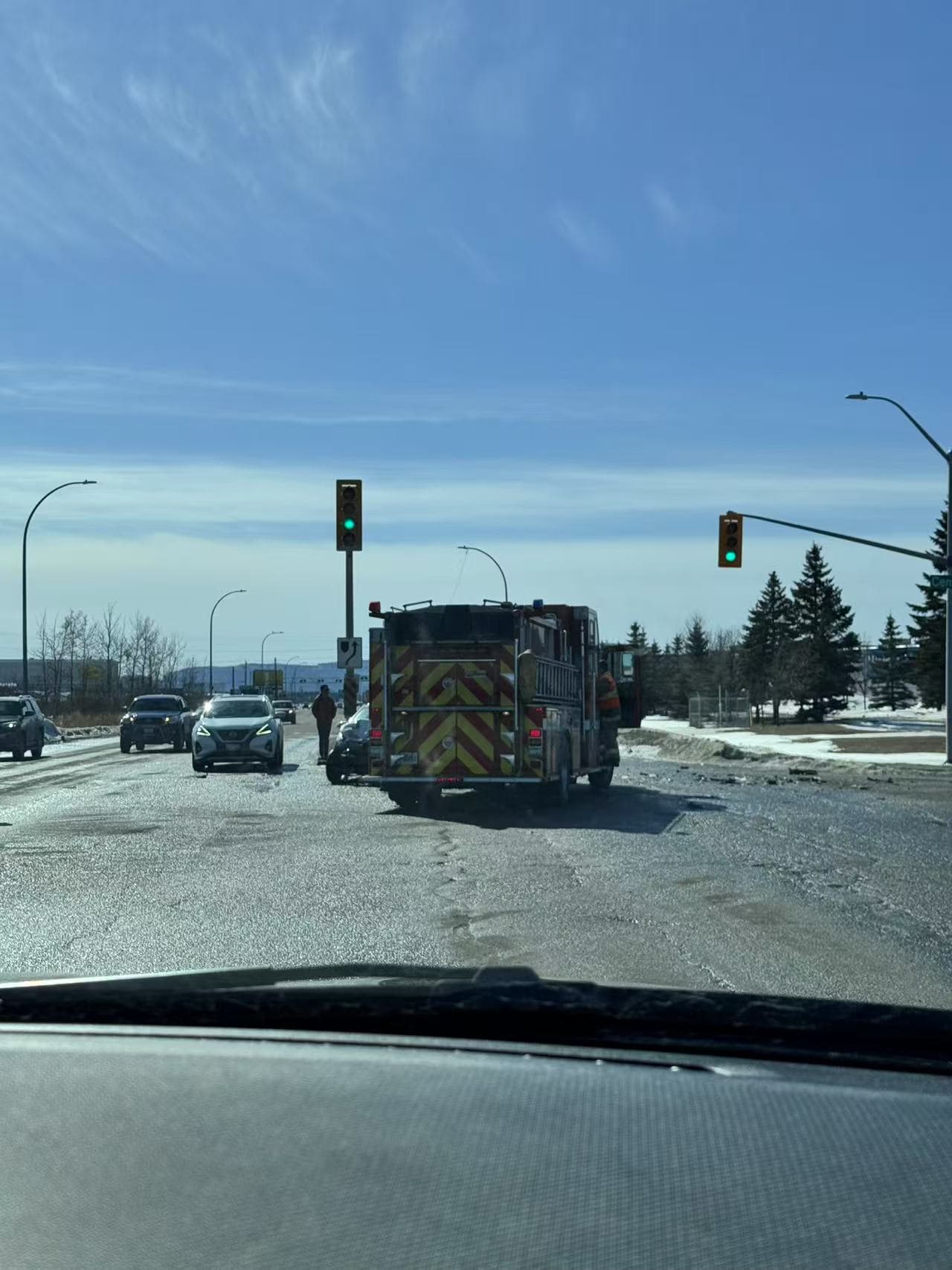
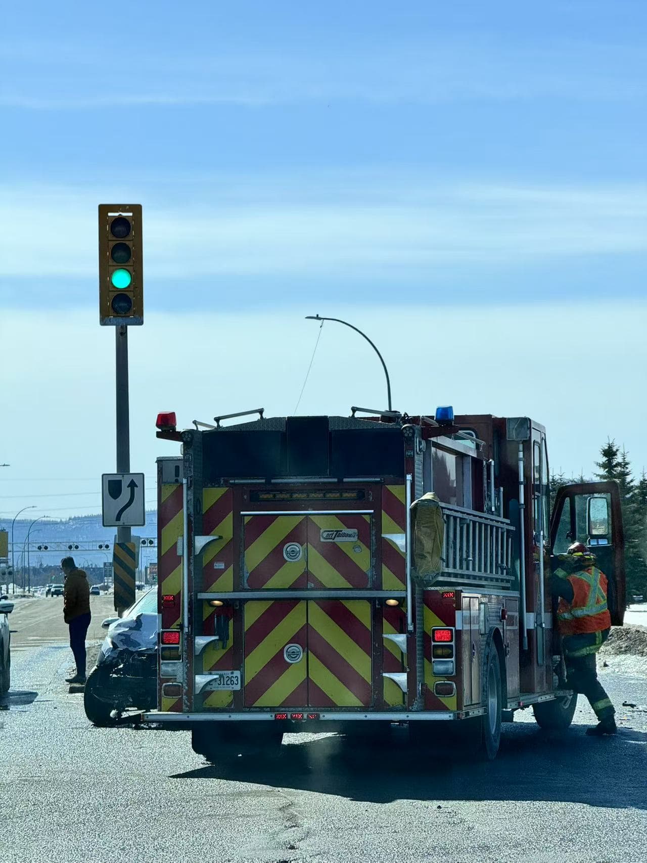
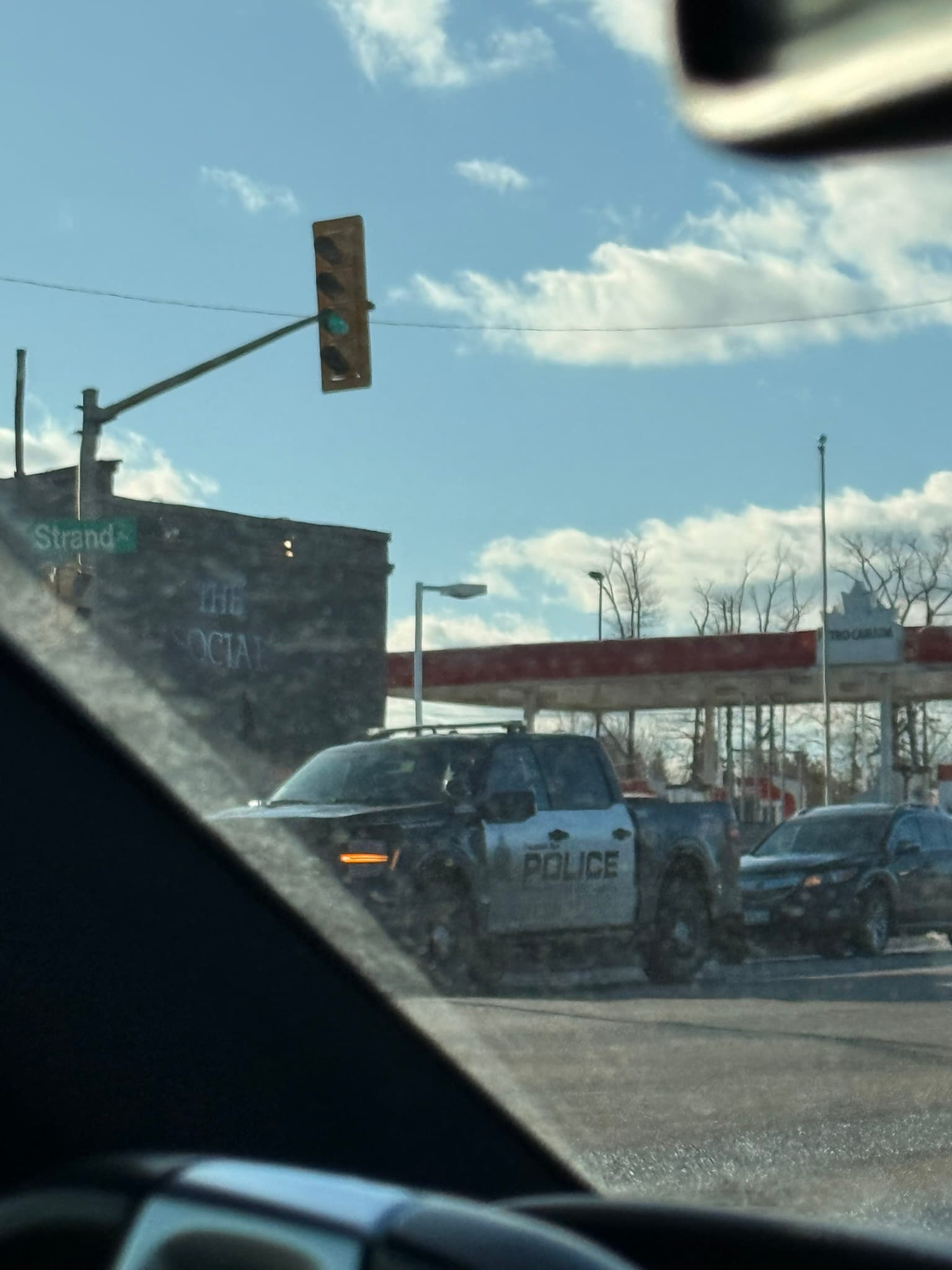
On 3/9, passing by Memorial Ave, an SUV collided with a fire truck. The car was totaled, but thankfully the people were probably okay. When you hear sirens and see flashing lights on police cars, ambulances, or fire trucks, remember to immediately pull over to the right, or give way to the emergency vehicles, as they may run red lights or go against traffic. Also, if you see a car pulled over ahead, change lanes to the left promptly, or you might get pulled over too.



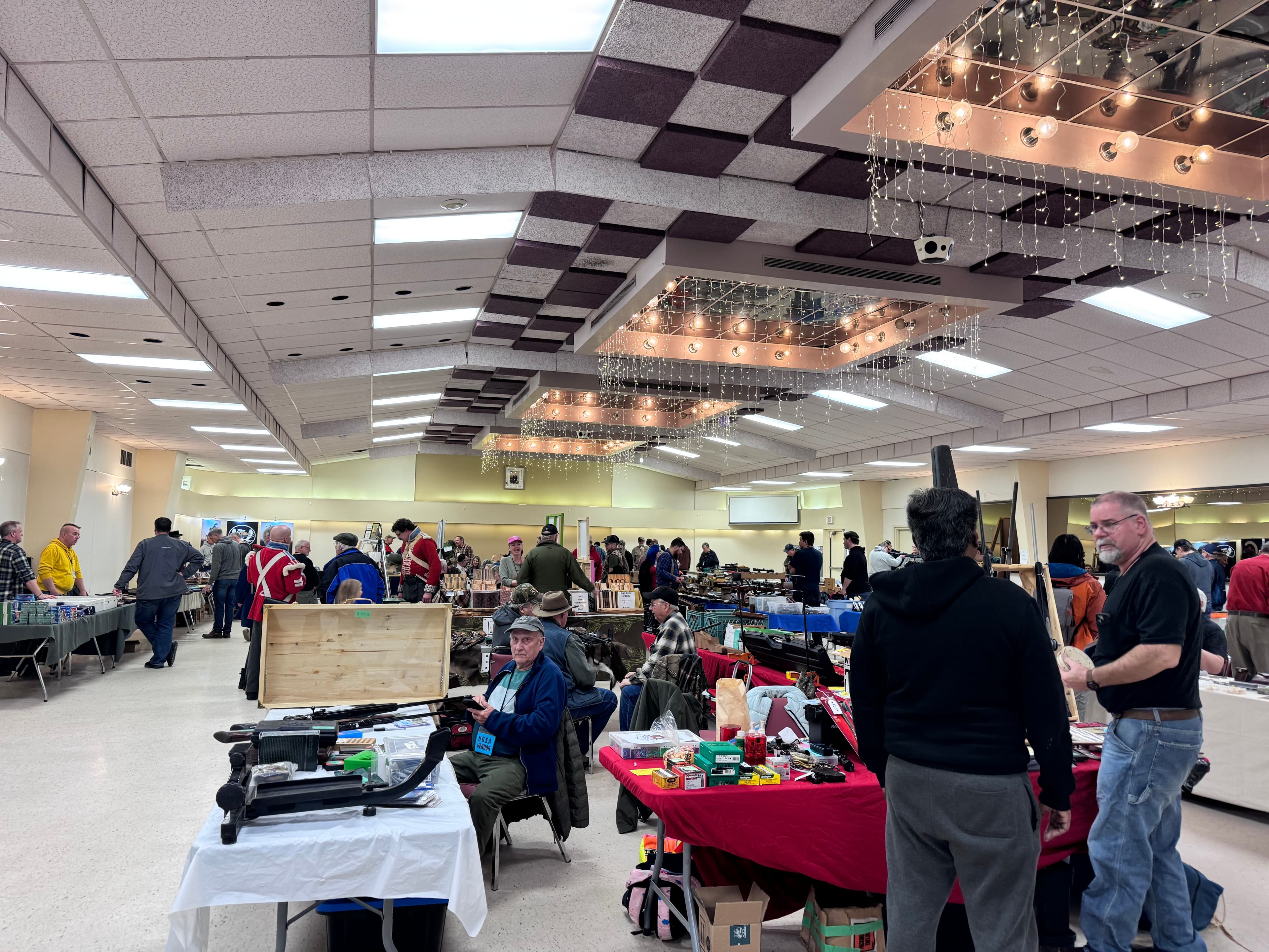
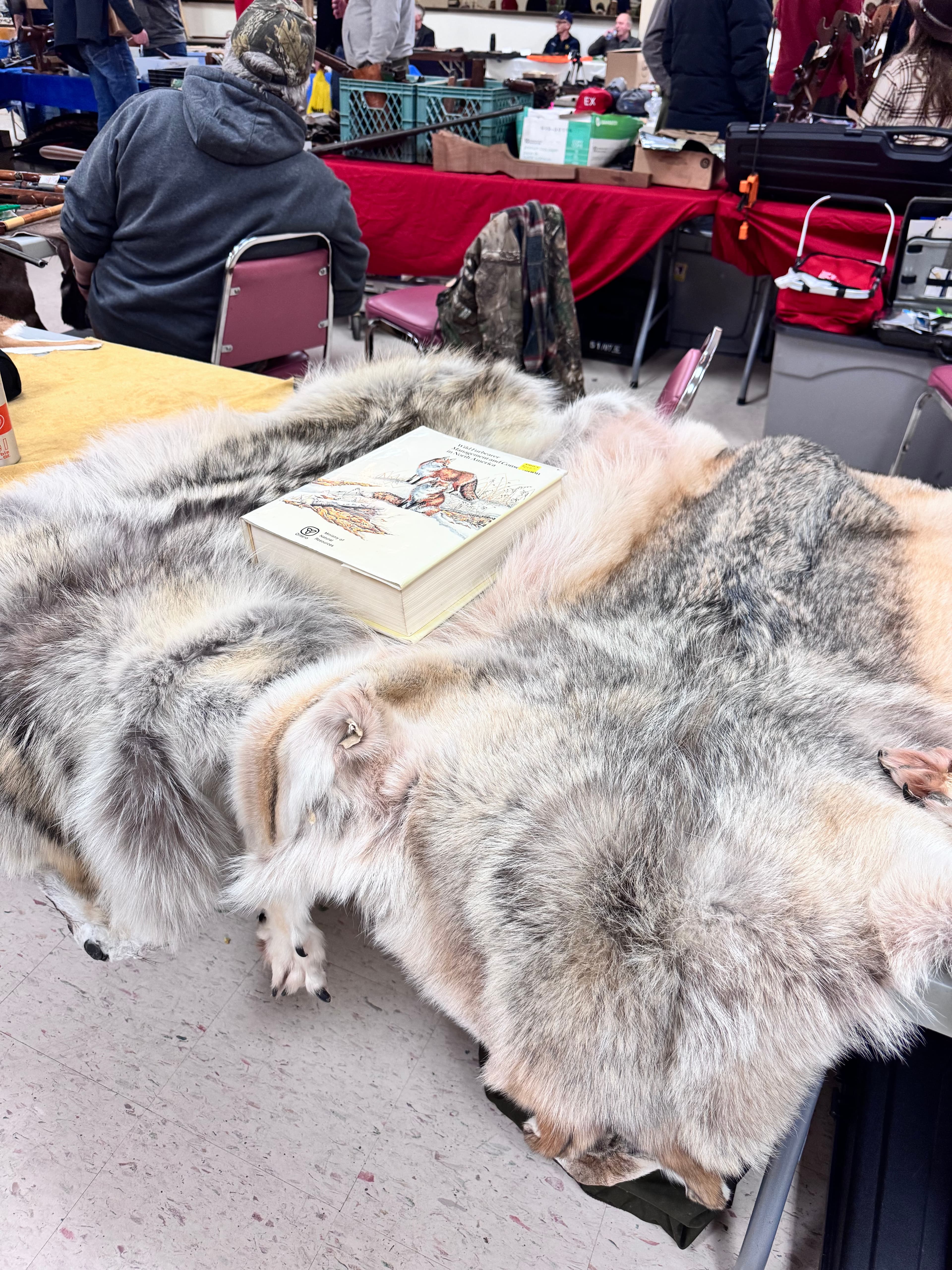
Address: The Slovak Legion, 801 Atlantic Ave., Thunder Bay, Ontario P7C 2S7 Canada. Admission $5, cash only. The venue is small, but the vendors are very helpful. There are many guns and other accessories to look at.



Mainly play AD, free whenever I don't have class, looking for a team.

Just a friendly reminder that the final date to withdraw (drop) a course in Winter 2025 is Friday, March 7, 2025 . Please ensure you drop any courses in a timely manner, as late requests will not be considered.

 Hi everyone! Welcome to the "lakebbs Official Family"
 【Group Features】
  Report forum issues anytime (bugs/suggestions, bring them all!) Get local event info first (meetups/lotteries/benefits, none missed) Daily chat and interaction (share life tidbits and useful info)
  Want to explore Thunder Bay more deeply? Click the forum now
 https://lakebbs.ca
  Chat anytime, get all the latest Lakehead news, rental/job listings, and second-hand deals!
  【Group Tips】
  Feel free to invite Chinese friends to chat
  If you have any questions, feel free to
.jpg&w=3840&q=75)
Anyone want to go to Toronto tomorrow? I'm driving, free, just looking for someone to chat with on the way.
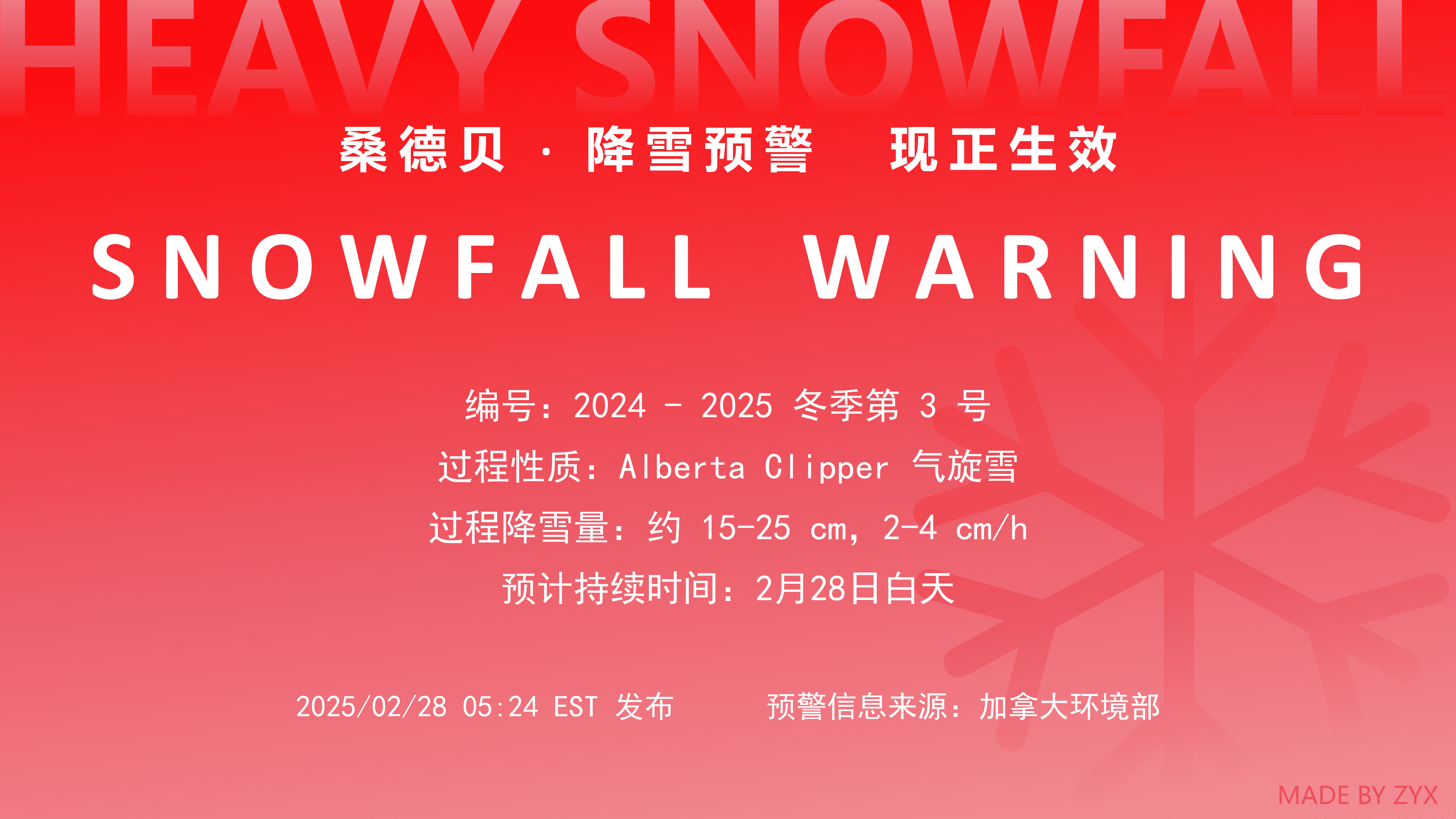
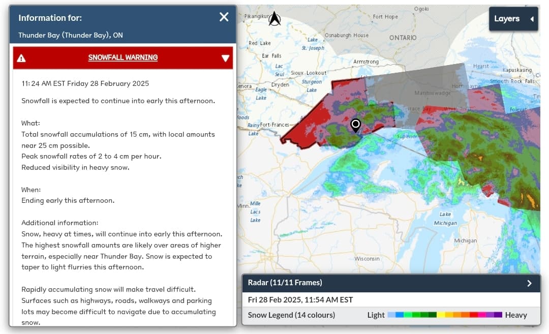
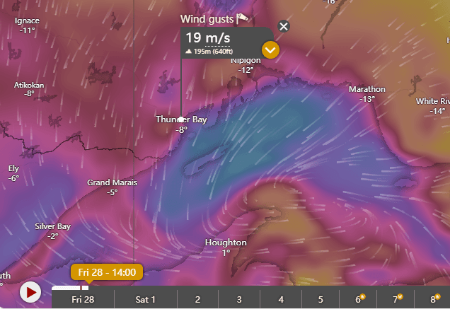
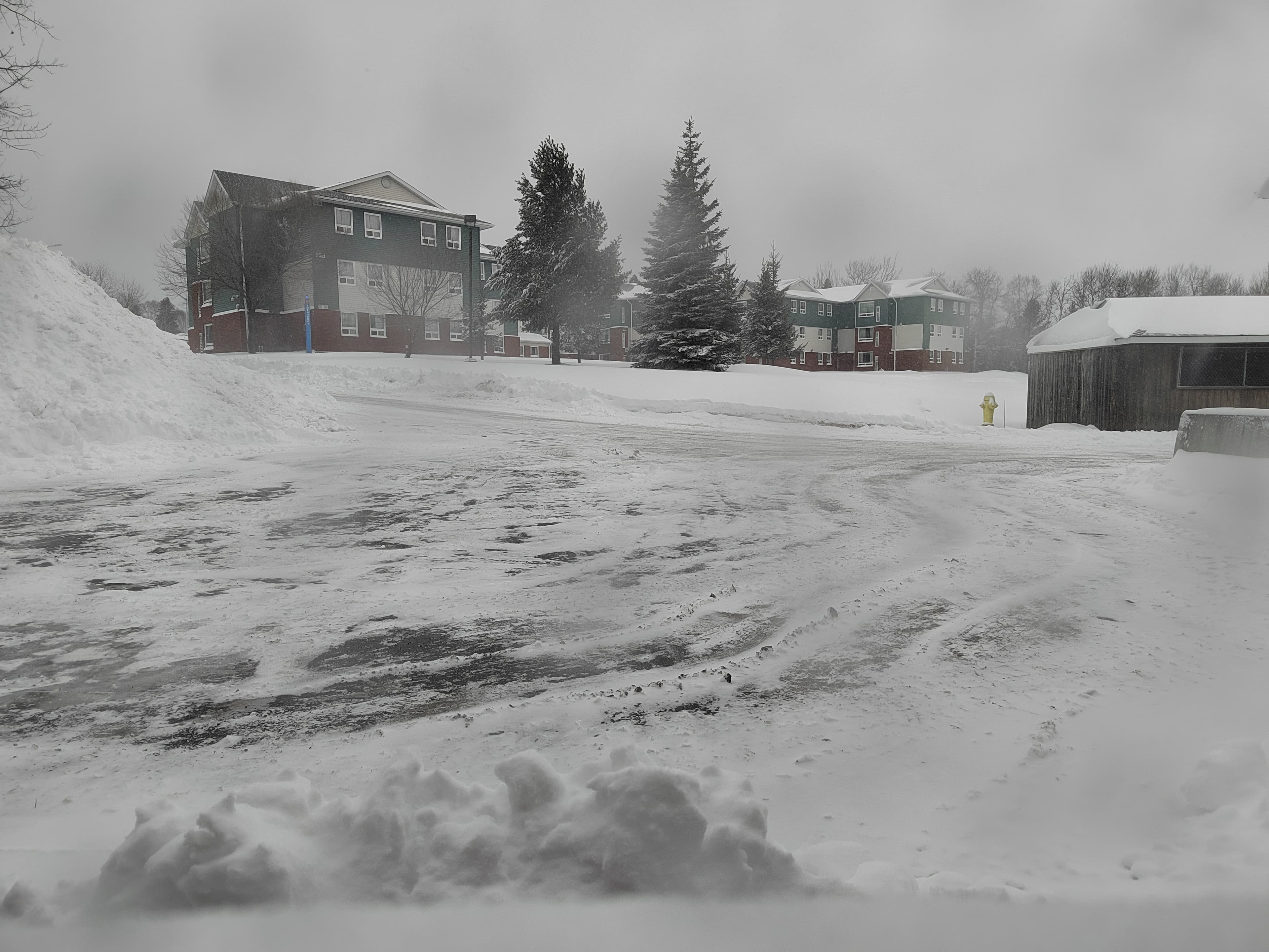
The details of the warning are shown in Figure 2. Thunder Bay has now entered the cold sector of the cyclone, and the peak snowfall period in the warm sector has passed. Snowfall is expected to turn into light flurries in the afternoon and gradually end, and the snowfall warning may be lifted in the afternoon. However, the severe weather in Thunder Bay is not over; what follows is continuously strengthening northeast gusts and a sharp temperature drop. The strongest gusts are expected from this afternoon to evening, with maximum gusts on land reaching force 8 (about 20 m/s), and over Lake Superior possibly exceeding force 9. Temperatures may drop by more than 10°C within 6 hours, and will fall below -10°C after nightfall. Tomorrow, Thunder Bay will turn partly cloudy to sunny, but in the early morning, due to clear-sky radiation, temperatures will be low, with a minimum of -1°C.

climate change
Bought once, the dough was absolutely terrible
.JPG&w=256&q=75)
I've been studying here for three years and have only seen two Chinese people. Any other students also studying in this village, come and say hi.
Event date: Monday, March 3, 2025 - 1:00 PM to 4:00 PM Eastern Time. Event location: The Outpost. Event contact name: Rody-Lynn Rusnik-Kininski. Event contact email: [email protected]. Lakehead University Community Legal Services (LUCLS) will host a free legal advice clinic on tenant rights for Lakehead University students. Bring your lease and ask your questions! Appointments are preferred. Please use the QR code on the poster to register.
.png&w=3840&q=75)


Did anyone manage to snag a bargain today?